Thursday, July 30, 2015

Quobba Point 27-28 July

Today we left the tropics for the first time since we left Alice Springs on May 19. This could be the beginning of the cold weather.

Quobba Point is approx 70 km north of Carnarvon, and we stayed at Quobba Station north of the point. Carnarvon is one of WA's major 
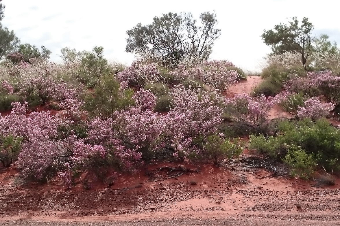
fruit growing areas. Bananas and tomatoes seem to be popular crops, but at the moment yields are down because of cyclone damage earlier in the year. There are many shadecloth screens which have been damaged and are in the process of being replaced.

We decided not to stay in Carnarvon, to leave it until another trip, and head instead to Quobba Point.
We were impressed that there might actually be power out there as we followed the power lines for many kms, past the salt pans of Lake MacLeod, until the line suddenly disappeared near the entrance to Rio Tinto’s Dampier Salt mine. I can’t say we were surprised. At Quobba there were 2 options. The Point, which was not supposed to have any toilets, or the Station, 8 km up the road, which definitely did, and even had powered sites had we wanted one.

Quobba Station is a working sheep property which breeds Damara sheep for live export to Saudi Arabia. The sheep have a skin like a goat, are bred for their lean meat and store their fat in their long fat tail. They are native to Namibia.


The station is right on the coast and we spent quite a bit of time watching the setting sun and searching for whales on their migration north. There were lots, but getting a good photo of one has so far eluded me. The beach is covered with a layer of bleached clam shells which are very large for shells on a beach.
A glassy beach

There is a whale in this picture. Honest!

Clam shells next to my foot

Next morning we headed back to Quobba Point to the blowholes, and to check out the area more fully. On the way we discovered the memorial cairn to HMAS Sydney, sunk off the coast near there on November 19, 1941, with no survivors.


The blowholes are mesmerising, and have several spouts. Once again, with photos, timing is everything. I have lots of photos of sky, empty sea, and a non-spouting blowhole.


The cliffs near the blowholes can be treacherous
We drove for quite a distance behind the beach, past shacks and shanties and dilapidated vans. The water of the beach was crystal clear and beautiful and not that cold. David looked longingly at the rock pool known as the Aquarium, but we had no swimming gear with us. It did look inviting though.

The Aquarium

Rocky outcrop off shore and crystal clear water

The dunes behind the beach

Next was a quick trip up to the lighthouse, where I suddenly had a phone signal, and also a view of the piles of salt, home to check out the results of a serious fishing expedition , then back up to the beach to check out more whales and watch the sheep escaping from their pen in search of food. It was a lovely relaxing interlude in a beautiful part of the coast.


Another toilet sign. If only.....

A salutary message for this area.

Coral Bay 23-26 July

Coral Bay, a small tourism oriented village is about 200 km south of Exmouth, and is very well named. Its facilities include a small supermarket, a few dive shops and ticket offices, a newsagent, a very popular bakery and a medical centre. It makes North Haven look big, and Beachfront Caravan Park look distant from the beach. The 2 parks here are on the opposite side of the road from the beach. The whole place is totally geared to tourism and it wouldn't surprise me if the whole place closed down in the wet season as there is a complex of seasonal workers accommodation.

Views from the dunes to the south of the bay


Pigface growing wild on the dunes
Coral Bay is towards the southern end of Ningaloo Reef. It is very calm and doesn't have the currents that make swimming and snorkelling more difficult in Cape Range. In Coral Bay you just walk out a few metres off the beach and there is the coral reef. There is also good fishing but you can't fish from shore, only from your boat.

Views of the Bay, with exceptionally clear water


The coral doesn't have the variety of colours you find on the Barrier Reef, but there are many different types of coral. We decided to do a glass bottomed boat cruise to see the variety and we weren't disappointed.  The coral is so dense, even though the tide was low you couldn't see the sandy sea floor. There is a particularly large mass that appears at low tide, known as Ayers Rock, that is growing all the time. We didn't see as many fish because they are wary of the noise of the boat. Except for the blue-green emperor fish. They associated the boat with food so these very large fish were like bees to a honeypot. David went snorkelling twice, and I went once, the water being a bit cooler than we have become accustomed to.

Ayers Rock Coral
Views of the dunes from the boat

Some of the fish and coral. I had a video but it was too big to load.


For a couple of days the weather at Coral Bay was cool and drizzly so it was very conducive to doing nothing much at all. Fortunately, on our last day the weather was warm, the sun shone brightly, the wind dropped and the water was a brilliant hue. Considering that the caravan parks were almost full there weren't many people on the beach. However we could hear a large crowd of keen AFL supporters cheering loudly. Obviously they had access to one of the satellite dishes that have sprouted in the park like weeds.

As we woke to pack up and leave we discovered we had no power in the camper, so a quick call to an auto-electrician in Carnarvon, about 200 km down the road was organised. On the way we crossed the tropic of Capricorn again, so now we are out of the tropics where we have been since May 20. 

The electrical problem has been fixed, so all is fine in Wilkos World again.

Wednesday, July 29, 2015

Cape Range National Park 21 - 24 July

 As it is over 500 km from Parraburdoo To Exmouth we decided to spend the night at Giralia Station, about 100 km from Exmouth. The station used to be a sheep property but is now only used for accommodation. It is fairly basic, but adequate for our needs. We were camped next to a couple named Mick and Gay from Perth. Amazingly Gay has a twin sister named Joy. They were friendly people who, just before we left, gave us a meal of fish they had caught. He was a baker and spent a bit of time fixing the gas stove in the camp kitchen.

Wildflowers on the way to Exmouth


Operation Potshot was a joint Aus-US effort in WWII
The Big Prawn, but you can't buy fresh prawns there.
Vlamingh Head Lighthouses, one from World War II


We departed for Exmouth in drizzly conditions, hopeful of getting a campsite in Cape Range National Park, as several people had recommended it to us. We discovered that there is online booking for Cape Range, but unfortunately we haven't had enough signal to make an online booking, even if we knew when we expected to be there. But it was our lucky day as we arrived at the Parks and Wildlife Office and obtained the last available site. So we quickly did some shopping, refuelled and headed off to claim it before anyone else could.

Cape Range NP is on the western coast of North West Cape,  almost as far west as you can go on the mainland, and its shoreline is protected by Ningaloo Reef,  a coral reef that is easily accessible to snorkellers from the beach. The park is unusual in that it has no trees, except those in the picnic ground at Yardie Creek, the park's only permanent fresh water. At this time of the year it has abundant wildflowers in bloom, lining the road and also en masse further away.


 Turquoise Bay where we snorkelled today is an amazing colour and well named. Osprey Bay where we are camped is a beautiful colour as well.


Because there are no trees there are very few large birds in the park, certainly not like we have seen practically everywhere else we have been. The animal we have seen most it the rock wallaby, and unfortunately many have been dead on the side of the road. Today we saw a dead mother wallaby and just near it on the road was its dead joey. Quite upsetting to see.


The park is very regulated with most of the coastal area a marine park, so the fishermen have to take their boats at least a kilometre off shore before they can fish. Camping is only permitted in certain areas, and these are supervised by volunteer campground hosts. The hosts get free camping. The facilities here at Osprey campground are new as the previous ones were destroyed by a cyclone earlier in the year. There are only toilets though, no showers.

There are a few walks you can do and today we did the Yardie Creek nature walk, followed by the Gorge walk, which overlooks the creek. The rocks of the gorge are a deep red, but all the rock surrounding the gorge is a pinkish white colour. The rocks have been eroded and are full of holes, many with a minimal amount of soil in them and wildflowers taking the opportunity for water anywhere they can. The whole area used to be a seabed in millenia past.


The picnic area at Yardie Creek

Cape Range is one area that has to be revisited as we didn't spend nearly enough time there. It is, however a long way away but it is a great place to spend a winter. The local West Australians have worked it out. They book in months in advance for 28 days at a time and only have to pay $6.60 per person per day. It is also one of the best places for catching big fish. Fish around a metre in length are what we are talking about. None for us though.

More Sturt Desert Peas